The Iowa Environmental Mesonet (IEM) collects environmental data from cooperating members with observing networks. The data are stored and made available on this website.

IEM Daily Feature

Precip near Severe Weather

Posted: 21 May 2026 05:30 AM, Views: 314
After a very dry start to May, this past weekend saw numerous rounds of severe weather that also brought much needed rainfall. Such is the conundrum this time of year, needed and significant spring season rains often come with thunderstorms that are sometimes severe. The featured chart attempts to look into how much precipitation is associated with severe weather by totaling up one minute interval precipitation totals from the Des Moines airport when either a severe thunderstorm or tornado warning is activate for the airport. The left two panels report the precipitation partitioning percentages during, within an hour, and outside of severe warnings. The upper right panel shows the frequency of a given one minute intensity happening during a severe weather warning. The bottom right panel is a bit of a downer, but denotes how much of the one minute precipitation is likely missing within the one minute observations (long story, but NCEI's collection and distribution of one minute data has become very unreliable). So the overall percentages are not that large with precipitation totals near 10%, but it certainly accounts for a good portion of the most intense rainfall totals.
Rate Feature

Previous Years' Features
West View, IA Webcam:
News Items  

ISU Network Outage [resolved]
Posted: 12 May 11:06 PM

1 April IEM Outage [resolved]
Posted: 2 Apr 10:55 AM

Tracking TAF Amendments
Posted: 13 Feb 10:28 AM

IEM Archival Update
Posted: 24 Sep 11:07 PM

TAF Archive Fixes
Posted: 22 Aug 7:28 AM

Sign up for the Daily Bulletin

Current Website Performance:
Bandwidth: 68.0 MB/s
Total Website: 3,705 req/s
API/Data Services: 118.9 req/s
API Success: 100%

Soil Temperatures

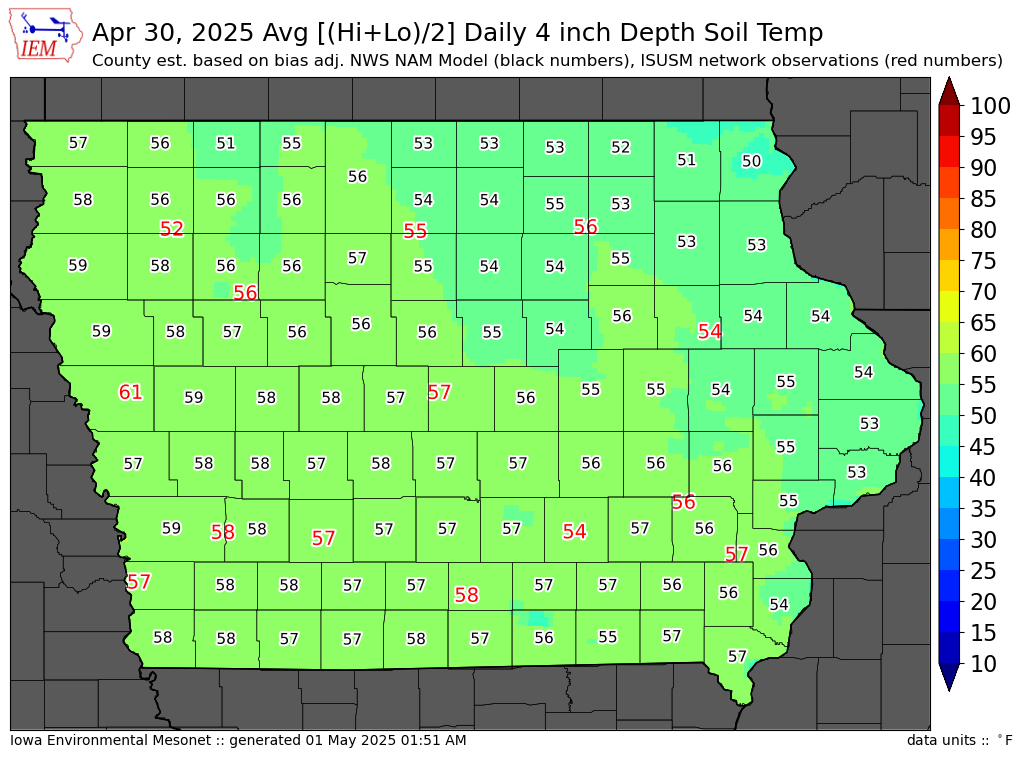
Data from the Iowa State Soil Moisture Network is found on this website and daily soil temperature averages are used to produce the highlighted analysis.
Current Data
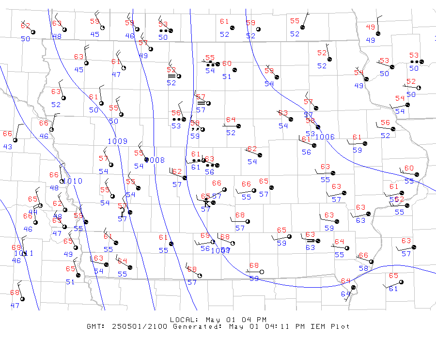
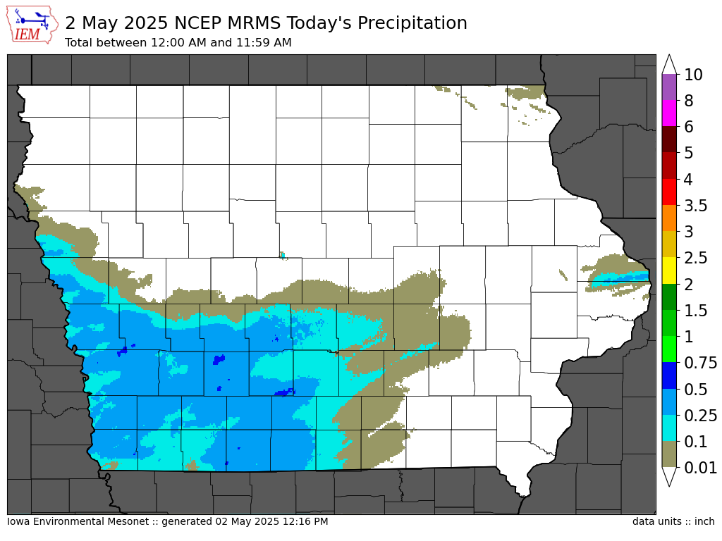
The IEM combines data from participating networks into products like maps shown above and web applications to analyze the data.

More current products »